| Map: Where did it all happen? |
|
|
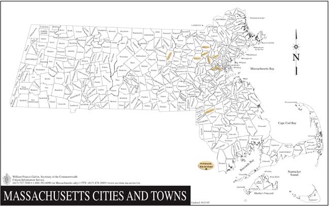
At this scale, you can see only the general locations of the communities mentioned in this account. City and town boundaries have evolved in Massachusetts over the last three-plus centuries, but the current place-names preserve those of greatest interest to our story.
Please click on the map, or here, to zoom in for more detail. *Charlestown also rates a passing mention as the town from which Woburn was carved, long ago. This map (for which thanks to the Commonwealth) doesn’t mention it, though, inasmuch as Boston annexed Charlestown as one of its “neighborhoods”, some years ago. |
| Zoom in |
|
Back a Page (Contents) |
This
Section: William and Mary |
Page Index |
[Map.htm] Updated Sep 2021 |
Next Page (Zoomed) |
Page Mary-iv |
| Welcome | Stories | Sections | Such a Life | People | Places | Site Search | Do You Know? |